Where did Taras Shevchenko draw “Fort Novopetrovsk from the Sea”?
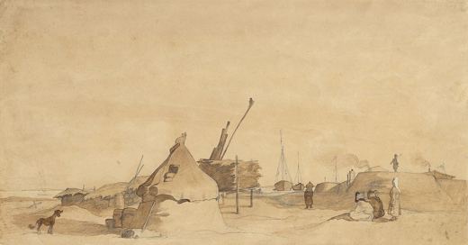
Taras Shevchenko drew “Fort Novopetrovsk from the Sea” at Fort-Shevchenko, Mangystau, Kazakhstan (coordinates 44.5083° N, 50.2639° E).
“Fort Novopetrovsk from the Sea” was drawn by Taras Shevchenko in 1856–1857 at Fort-Shevchenko, Mangystau, Kazakhstan. It is a watercolour work shown on SketchMap Atlas at the place where it was made.
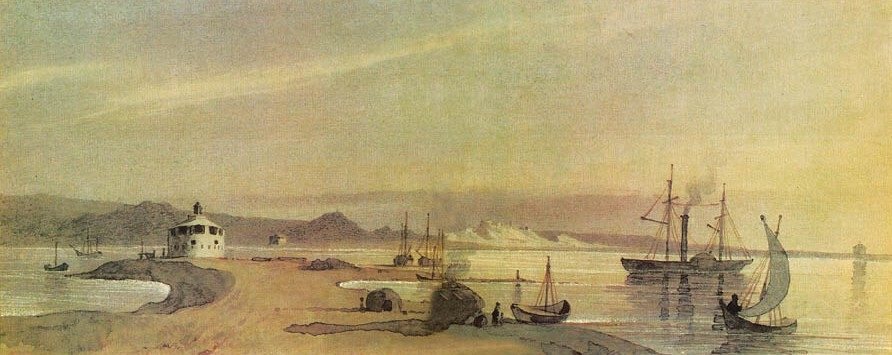
The rocky Caspian shore on Mangyshlak Peninsula, where Shevchenko spent his last years of exile.
| Artist | Taras Shevchenko |
|---|---|
| Year | 1856–1857 |
| Place | Fort-Shevchenko, Mangystau, Kazakhstan |
| Coordinates | 44.5083° N, 50.2639° E |
| Technique | watercolour |
| Licence | Public domain |
| Source | Wikimedia Commons |
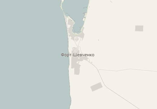
Fort-Shevchenko, Mangystau, Kazakhstan is on the SketchMap Atlas world map, with Taras Shevchenko’s sketch pinned where it was made.
Been to Fort-Shevchenko, Mangystau, Kazakhstan? Add your own sketch next to Taras Shevchenko’s.
Taras Shevchenko drew “Fort Novopetrovsk from the Sea” at Fort-Shevchenko, Mangystau, Kazakhstan (coordinates 44.5083° N, 50.2639° E).
“Fort Novopetrovsk from the Sea” by Taras Shevchenko dates from 1856–1857.
It is a watercolour work.
The image is marked “Public domain” and comes from Wikimedia Commons. See the source link for the exact terms.