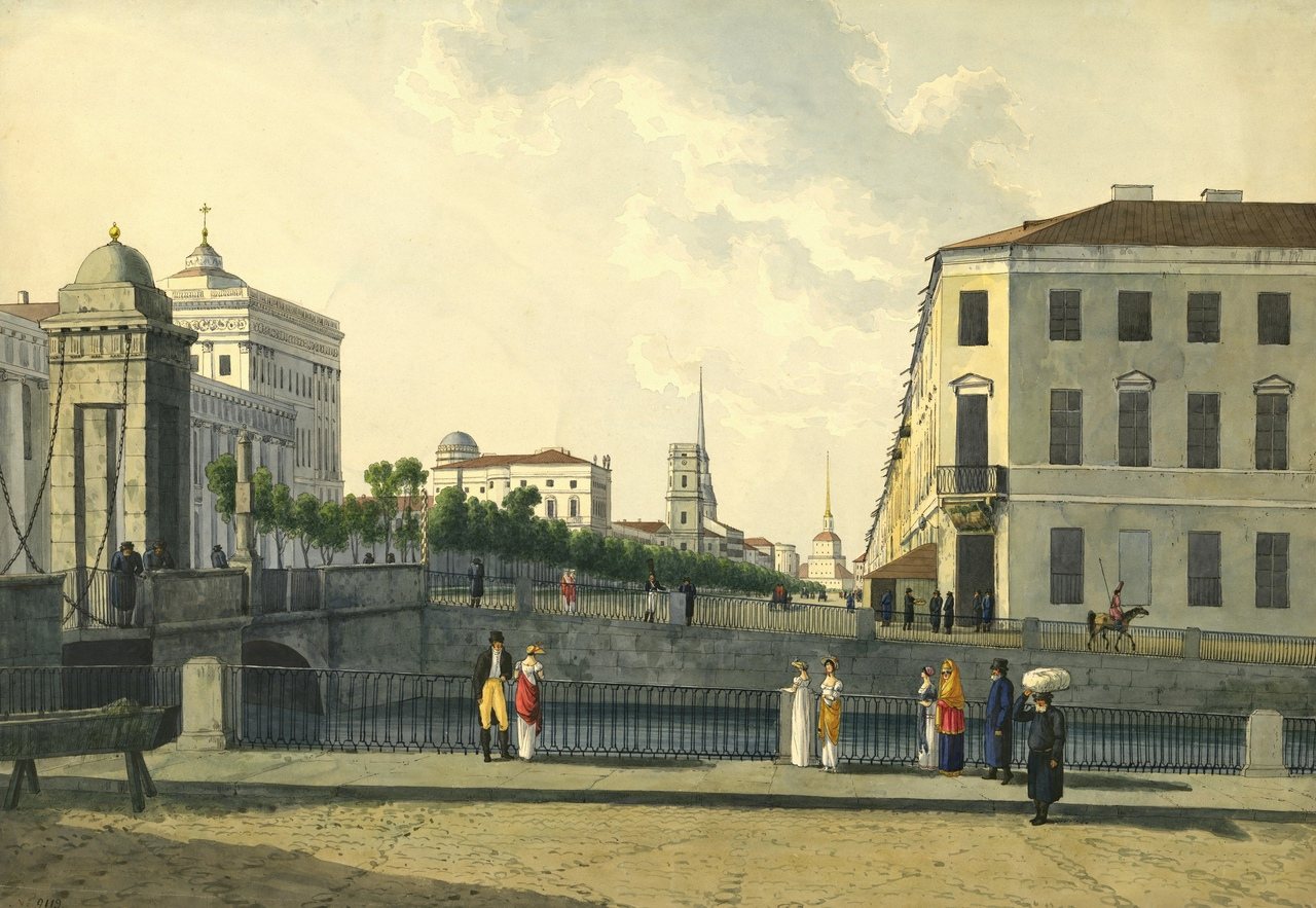
“Nevsky Prospekt from the Fontanka” was drawn by Andrey Martynov in c. 1809 at Anichkov Bridge, St Petersburg. It is a watercolour work shown on SketchMap Atlas at the place where it was made.
The straight perspective of the avenue towards the Admiralty spire from Anichkov Bridge.
This sketch is stop 1 of the “St Petersburg: from Nevsky to the Neva” sketching route. → All sketching routes
Where did Andrey Martynov draw “Nevsky Prospekt from the Fontanka”?
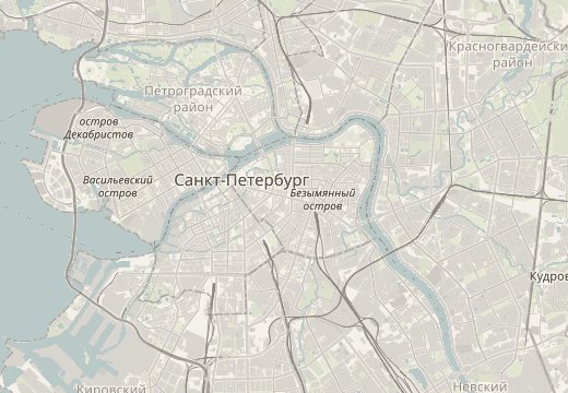
Andrey Martynov drew “Nevsky Prospekt from the Fontanka” at Anichkov Bridge, St Petersburg (coordinates 59.9332° N, 30.3431° E). SketchMap Atlas shows it on a world map at this spot, so you can stand where the artist stood.
What does “Nevsky Prospekt from the Fontanka” show?
The straight perspective of the avenue towards the Admiralty spire from Anichkov Bridge. It is a watercolour work by Andrey Martynov, c. 1809.
Is “Nevsky Prospekt from the Fontanka” part of a sketching route?
Yes. It is stop 1 of 5 on the “St Petersburg: from Nevsky to the Neva” sketching route. Open the route in SketchMap Atlas to walk it.
Can I use the image of “Nevsky Prospekt from the Fontanka”?
The image is marked “Public domain” and comes from Wikimedia Commons. See the source link for the exact terms.