 SketchMap Atlas
Routes › Venice: three centuries, one canal
Canaletto · Turner · Sargent
Canaletto, Turner and Sargent drew Venice about a century apart. Walk five of their views in order and see where each one was drawn.

Tap a seal to see the sketch, or press “Walk the route”.
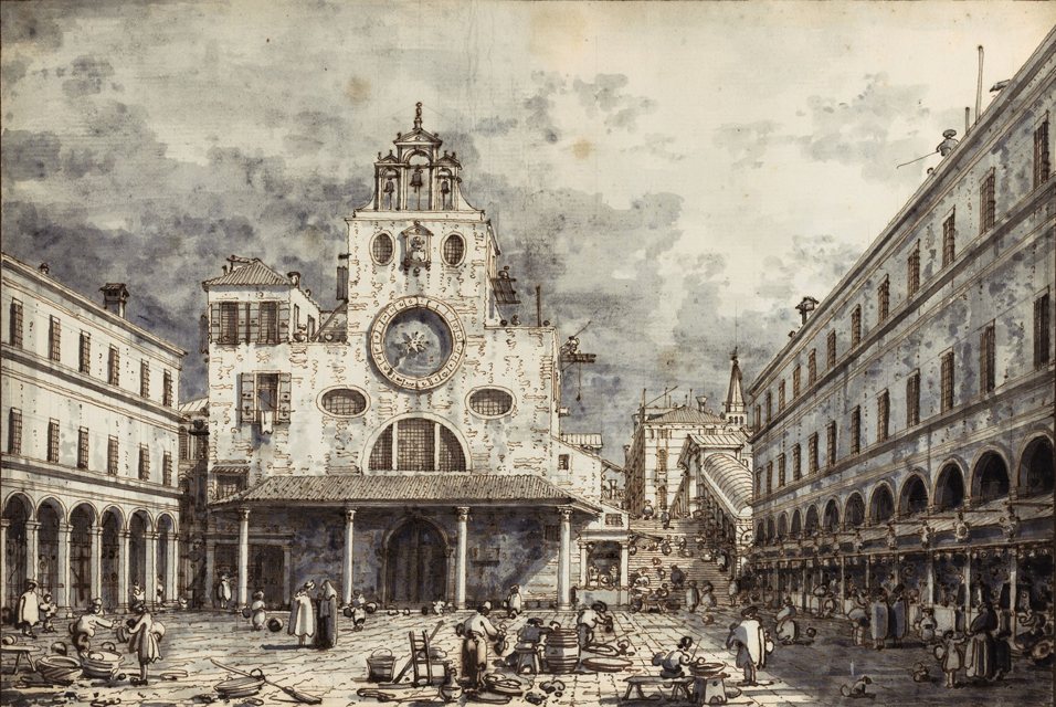
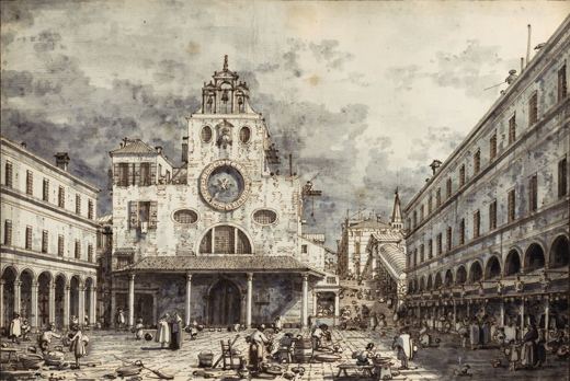
The market square by the Rialto: a church with a clock, arcades and traders, in pen and ink.
Public domain · Source · More about this sketch
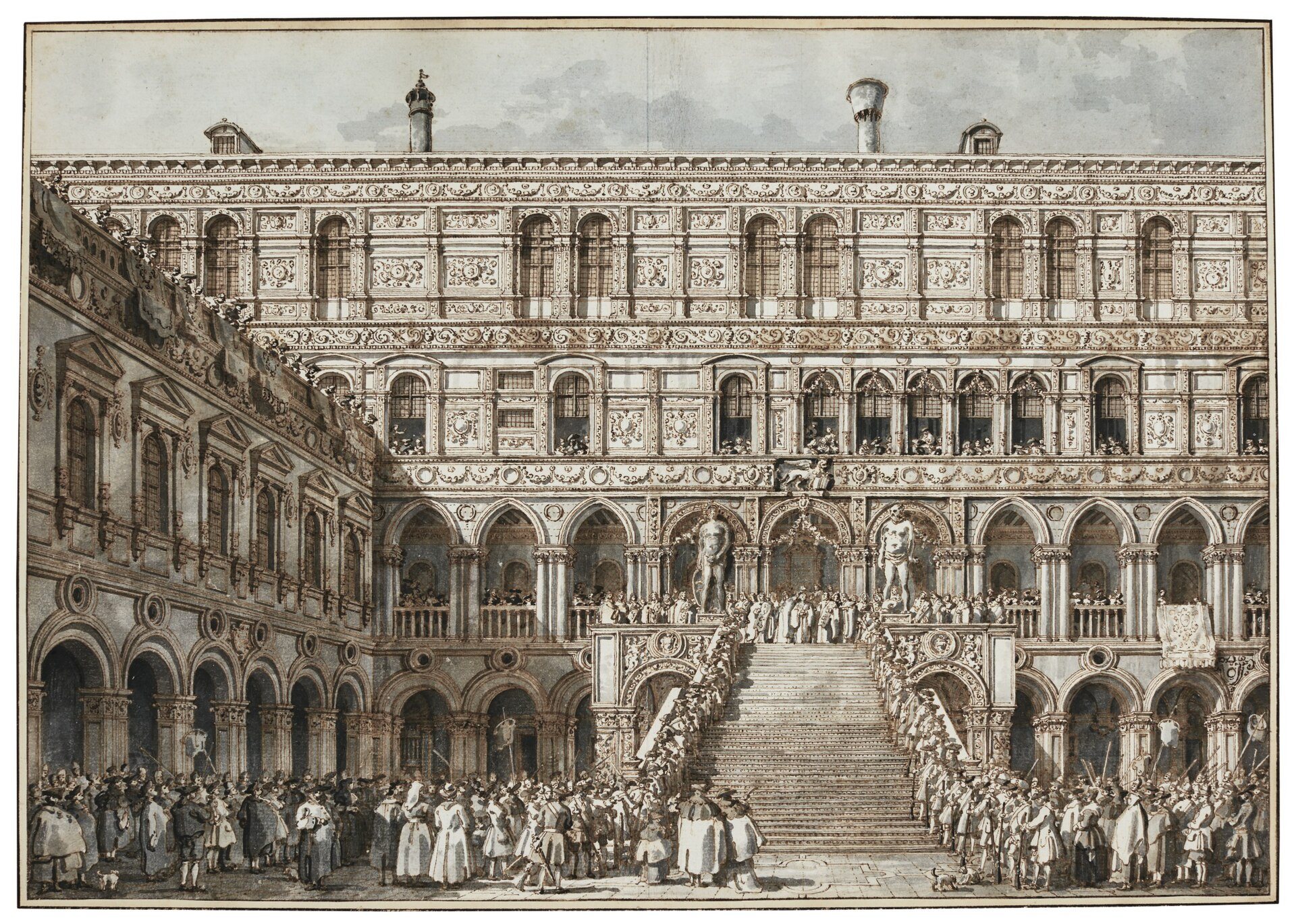
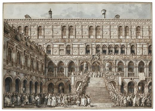
The coronation of the Doge in the courtyard of the Ducal Palace, in pen and ink.
Public domain · Source · More about this sketch
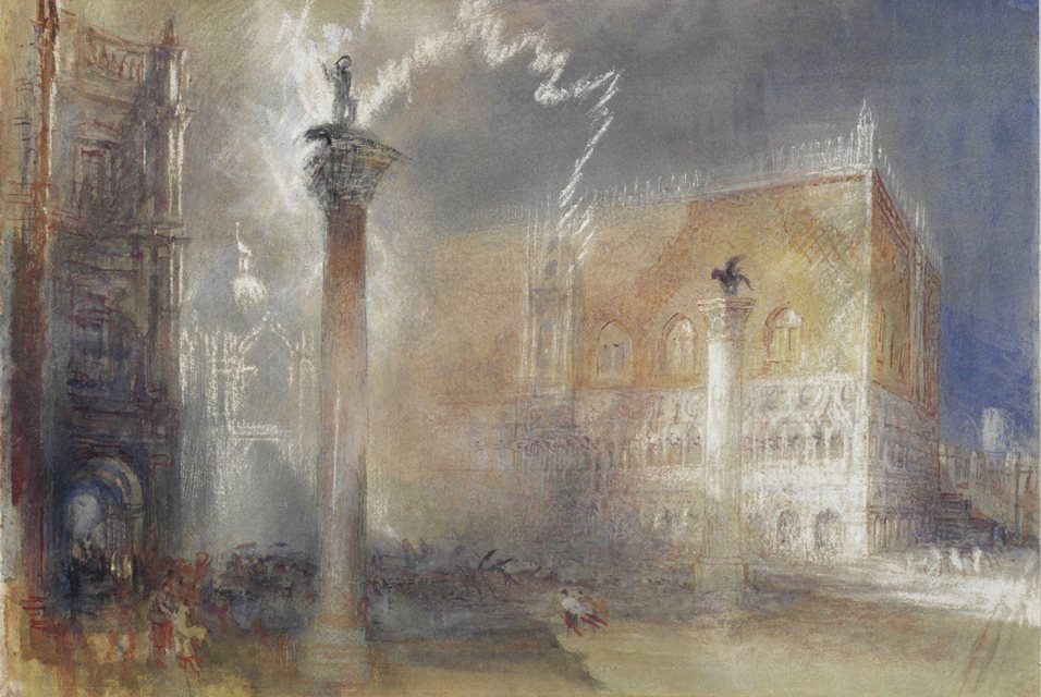
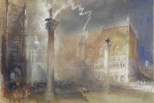
Stormy light over the columns of San Marco: Turner paints the air, not the architecture.
Public domain · Source · More about this sketch
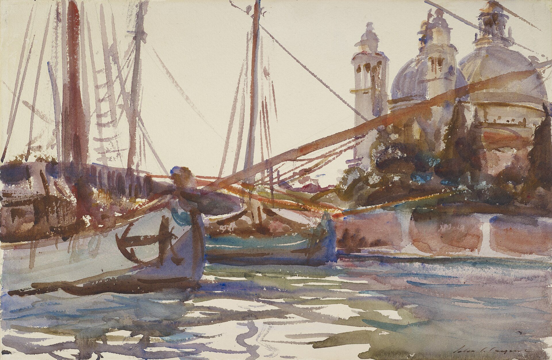
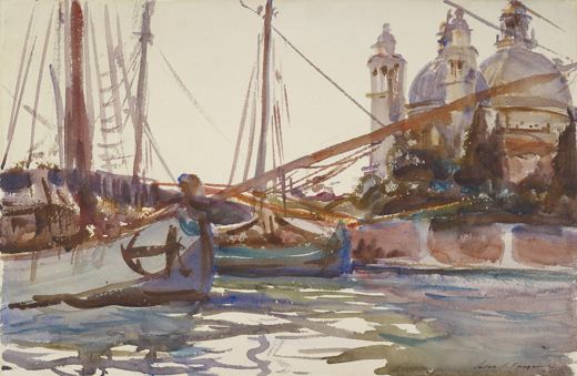
A forest of masts and the domes of the Salute seen from the water: a quick watercolour note.
Public domain · Source · More about this sketch
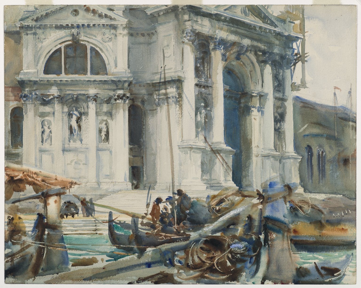
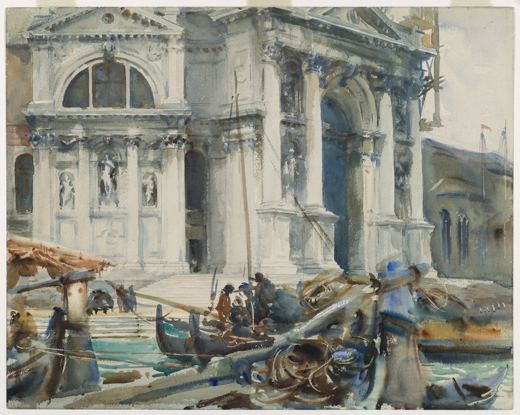
A sunlit church façade and gondoliers at its steps: Venice through Sargent’s eyes.
Public domain · Source · More about this sketch
Pick one of the stops and sketch it your way. Then pin your drawing on the map next to the old ones, with its own date and place.
Free to start · Android and web
| Stop | Work | Artist | Date | Coordinates |
|---|---|---|---|---|
| 1 | Campo San Giacomo di Rialto | Canaletto | 18th century | 45.4388, 12.3347 |
| 2 | The Scala dei Giganti | Canaletto | 18th century | 45.4338, 12.3405 |
| 3 | The Piazzetta, Venice | J. M. W. Turner | 1840 | 45.4337, 12.3403 |
| 4 | Gondolas by the Salute | John Singer Sargent | 1903–1907 | 45.4310, 12.3350 |
| 5 | Santa Maria della Salute | John Singer Sargent | 1904 | 45.4306, 12.3347 |
On the map of places: Venice, Italy. Artists on this route: Canaletto, J. M. W. Turner, John Singer Sargent.
It starts at “Campo San Giacomo di Rialto” and ends at “Santa Maria della Salute”: 5 stops, about 1.3 km apart measured in straight lines. Streets and paths wind, so the real walk is longer, and you will want time to sit and draw at each stop.
The sketches are by Canaletto, J. M. W. Turner and John Singer Sargent, made between the 18th and the 20th century. Each one is shown on the map at the place where it was drawn, with its source and licence.
Yes. SketchMap Atlas is a free app for Android and the web where every sketch is pinned to the place and date it was made. Open this route in SketchMap Atlas to see all 5 stops on a map, then add your own sketch next to them.
Yes. In SketchMap Atlas you pick two to ten sketches on the map, put them in order, name the route and share it as a link.
No. You can open any SketchMap Atlas route and look at every sketch without signing up. You need an account only to publish your own work.
Updated 28 October 2026