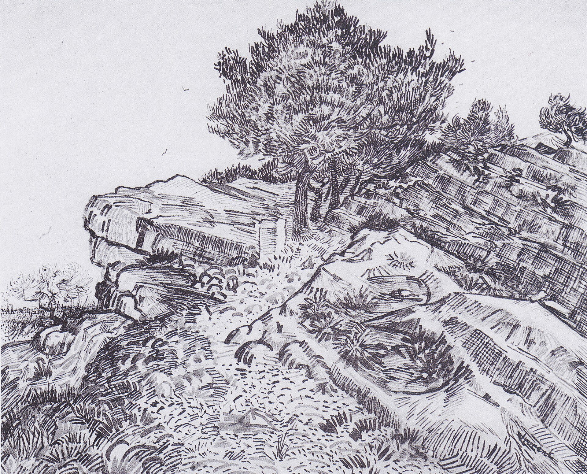
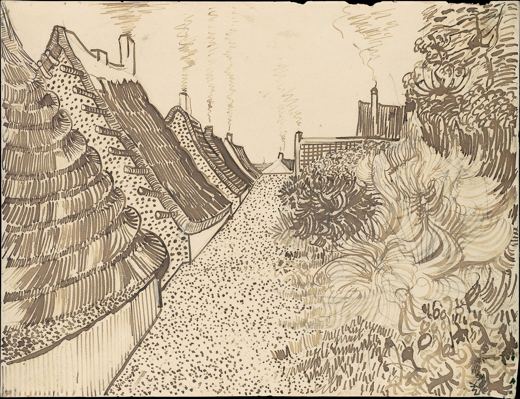
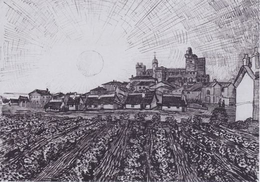
“Rocks at Montmajour” was drawn by Vincent van Gogh in July 1888 at Montmajour Abbey, Arles. It is a drawing work shown on SketchMap Atlas at the place where it was made.
A pine on limestone near Montmajour Abbey, where Van Gogh drew in the summer of 1888.
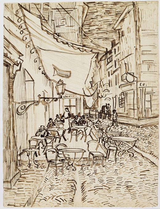
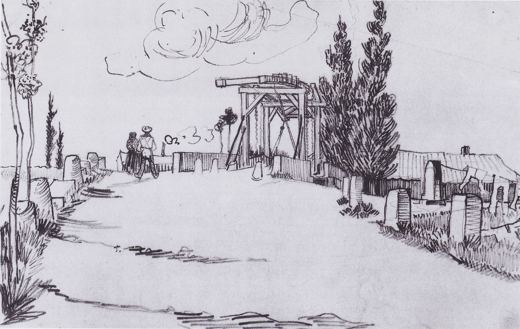
This sketch is stop 3 of the “Van Gogh’s Arles: the bridge, the café and the abbey” sketching route. → All sketching routes
Where did Vincent van Gogh draw “Rocks at Montmajour”?
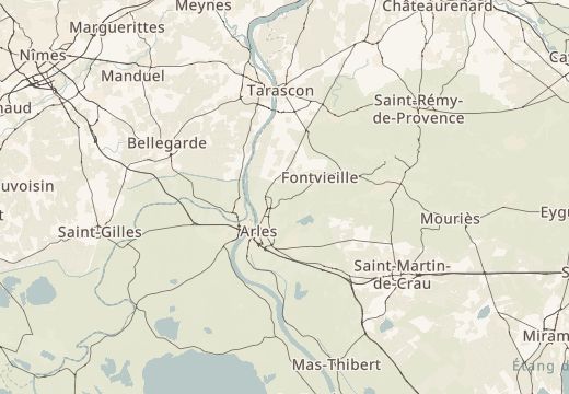
Vincent van Gogh drew “Rocks at Montmajour” at Montmajour Abbey, Arles (coordinates 43.7085° N, 4.6637° E). SketchMap Atlas shows it on a world map at this spot, so you can stand where the artist stood.
What does “Rocks at Montmajour” show?
A pine on limestone near Montmajour Abbey, where Van Gogh drew in the summer of 1888. It is a drawing work by Vincent van Gogh, July 1888.
Is “Rocks at Montmajour” part of a sketching route?
Yes. It is stop 3 of 3 on the “Van Gogh’s Arles: the bridge, the café and the abbey” sketching route. Open the route in SketchMap Atlas to walk it.
Can I use the image of “Rocks at Montmajour”?
The image is marked “Public domain” and comes from Wikimedia Commons. See the source link for the exact terms.