SketchMap Atlas

Artists › Bayard Taylor

Entrance to Almannagjá — Bayard Taylor, 1862

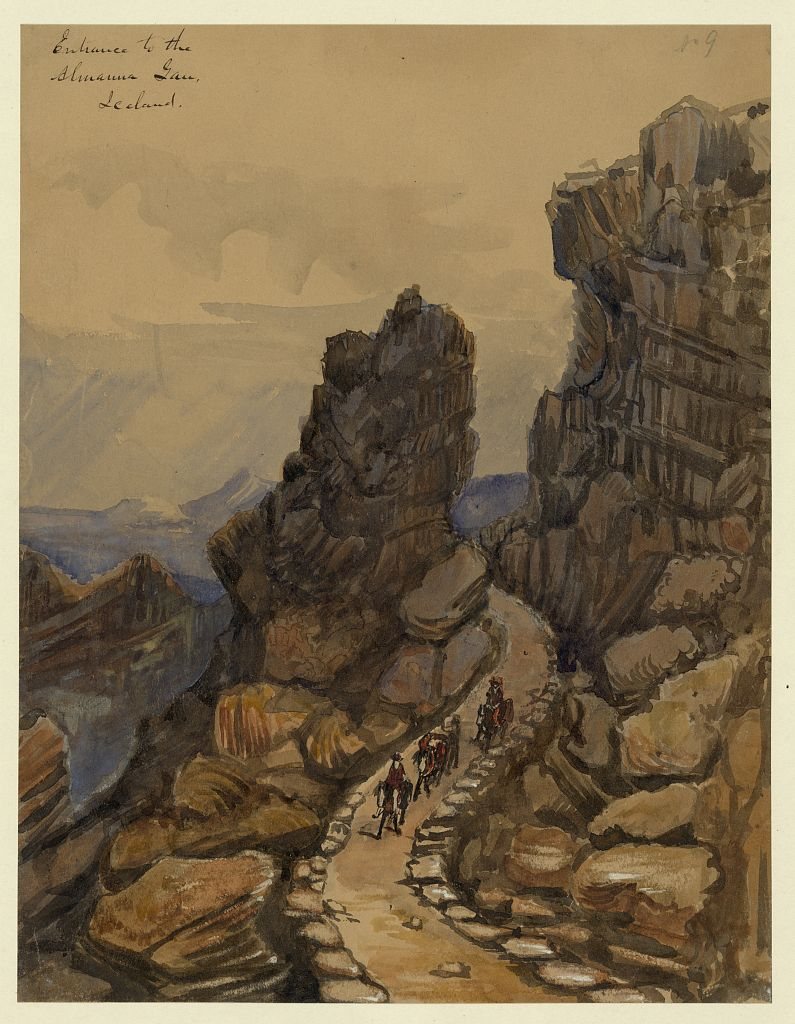
“Entrance to Almannagjá” was drawn by Bayard Taylor in 1862 at Almannagjá, Thingvellir, Iceland. It is a watercolour work shown on SketchMap Atlas at the place where it was made.

Entrance to Almannagjá by Bayard Taylor, 1862, drawn at Almannagjá, Thingvellir, Iceland
Entrance to Almannagjá · 1862 · 📍 Almannagjá, Thingvellir, Iceland

Riders with pack horses on a stone-lined path between the cliffs: a drawing of 1862.

ArtistBayard Taylor
Year1862
PlaceAlmannagjá, Thingvellir, Iceland
Coordinates64.2575° N, 21.1210° W
Techniquewatercolour
LicencePublic domain
SourceWikimedia Commons
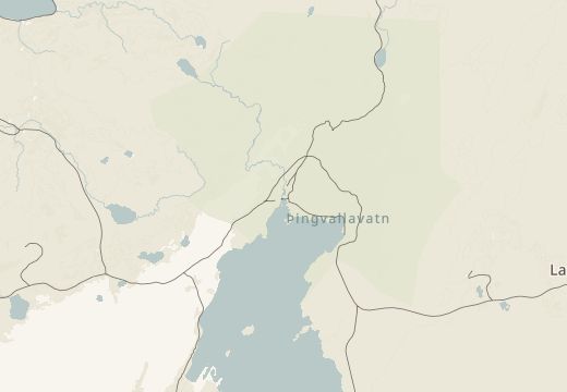
Map around Almannagjá, Thingvellir, Iceland

See where this was drawn

Almannagjá, Thingvellir, Iceland is on the SketchMap Atlas world map, with Bayard Taylor’s sketch pinned where it was made.

Open in the map

Been to Almannagjá, Thingvellir, Iceland? Add your own sketch next to Bayard Taylor’s.

More sketches of Reykjavik and Thingvellir, Iceland

This sketch is stop 2 of the “Thingvellir: the church and the rifts” sketching route. → All sketching routes

Quick answers

Where did Bayard Taylor draw “Entrance to Almannagjá”?

Bayard Taylor drew “Entrance to Almannagjá” at Almannagjá, Thingvellir, Iceland (coordinates 64.2575° N, 21.1210° W). SketchMap Atlas shows it on a world map at this spot, so you can stand where the artist stood.
What does “Entrance to Almannagjá” show?

Riders with pack horses on a stone-lined path between the cliffs: a drawing of 1862. It is a watercolour work by Bayard Taylor, 1862.

Is “Entrance to Almannagjá” part of a sketching route?

Yes. It is stop 2 of 3 on the “Thingvellir: the church and the rifts” sketching route. Open the route in SketchMap Atlas to walk it.

Can I use the image of “Entrance to Almannagjá”?

The image is marked “Public domain” and comes from Wikimedia Commons. See the source link for the exact terms.

More by Bayard Taylor

All sketches by Bayard Taylor