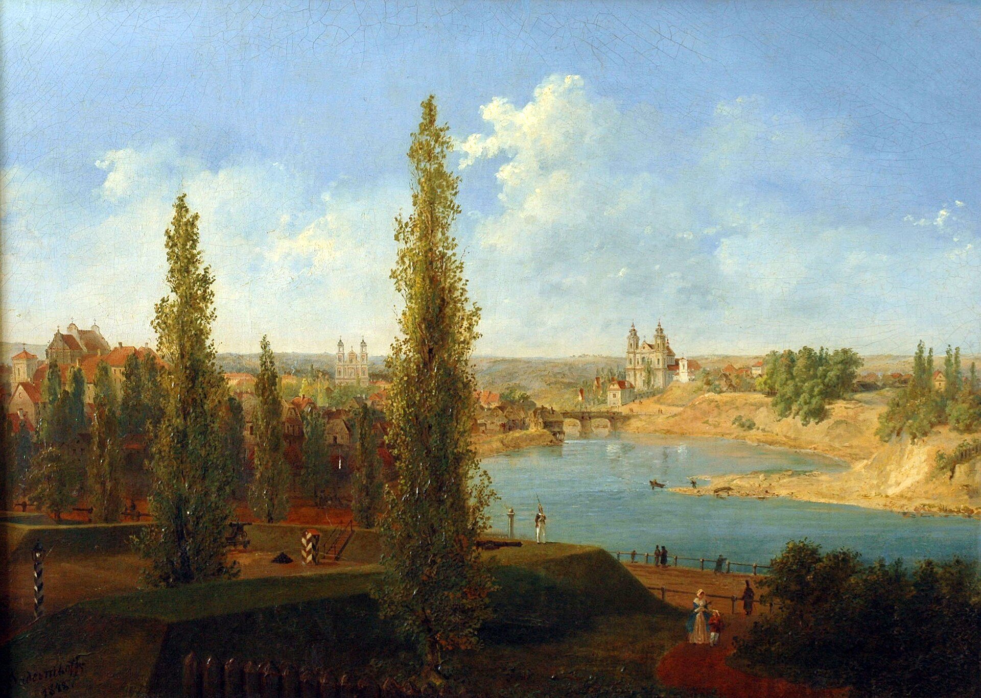
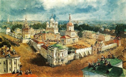
“The Neris River in Vilnius” was drawn by Vasily Sadovnikov in 1848 at Vilnius, Lithuania. It is a watercolour work shown on SketchMap Atlas at the place where it was made.
A wooden bridge across the Neris and the green hills of old Vilnius: a watercolour of 1848.
Where did Vasily Sadovnikov draw “The Neris River in Vilnius”?
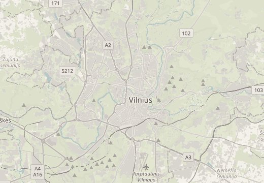
Vasily Sadovnikov drew “The Neris River in Vilnius” at Vilnius, Lithuania (coordinates 54.6933° N, 25.2719° E). SketchMap Atlas shows it on a world map at this spot, so you can stand where the artist stood.
What does “The Neris River in Vilnius” show?
A wooden bridge across the Neris and the green hills of old Vilnius: a watercolour of 1848. It is a watercolour work by Vasily Sadovnikov, 1848.
Where can I see more sketches by Vasily Sadovnikov?
SketchMap Atlas shows 4 sketches by Vasily Sadovnikov, each at the place where it was drawn. See them all on the artist page.
Can I use the image of “The Neris River in Vilnius”?
The image is marked “Public domain” and comes from Wikimedia Commons. See the source link for the exact terms.