Where did Utagawa Hiroshige draw “Lake Hakone”?
Utagawa Hiroshige drew “Lake Hakone” at Lake Hakone, Japan (coordinates 35.2050° N, 139.0250° E). SketchMap Atlas shows it on a world map at this spot, so you can stand where the artist stood.
“Lake Hakone” was drawn by Utagawa Hiroshige in c. 1833 at Lake Hakone, Japan. It is a drawing work shown on SketchMap Atlas at the place where it was made.
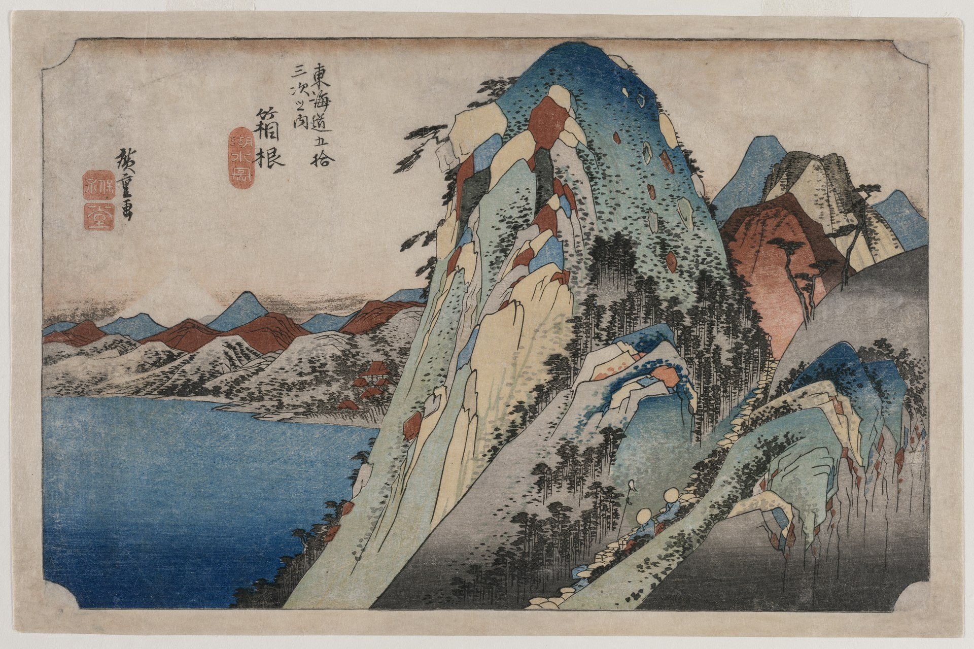
Lilac cliffs beside blue water: one of the stations of the “Fifty-three Stations of the Tōkaidō”.
| Artist | Utagawa Hiroshige |
|---|---|
| Year | c. 1833 |
| Place | Lake Hakone, Japan |
| Coordinates | 35.2050° N, 139.0250° E |
| Technique | drawing |
| Licence | CC0 |
| Source | Wikimedia Commons |
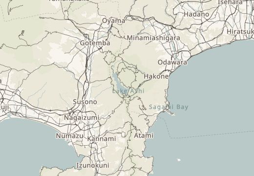
Lake Hakone, Japan is on the SketchMap Atlas world map, with Utagawa Hiroshige’s sketch pinned where it was made.
Been to Lake Hakone, Japan? Add your own sketch next to Utagawa Hiroshige’s.
Utagawa Hiroshige drew “Lake Hakone” at Lake Hakone, Japan (coordinates 35.2050° N, 139.0250° E). SketchMap Atlas shows it on a world map at this spot, so you can stand where the artist stood.
Lilac cliffs beside blue water: one of the stations of the “Fifty-three Stations of the Tōkaidō”. It is a drawing work by Utagawa Hiroshige, c. 1833.
SketchMap Atlas shows 5 sketches by Utagawa Hiroshige, each at the place where it was drawn. See them all on the artist page.
The image is marked “CC0” and comes from Wikimedia Commons. See the source link for the exact terms.