
Who drew Quebec City, Canada?
SketchMap Atlas shows sketches of Quebec City, Canada by James Pattison Cockburn.
Places › Quebec City, Canada
3 classic sketches of Quebec City, Canada by James Pattison Cockburn, from 1826 to 1827, each shown on the world map where it was drawn.
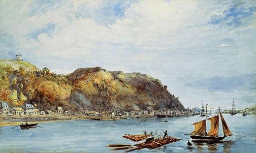 Quebec from Cape Diamond Harbour
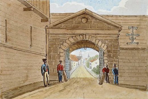 Hope Gate, Quebec
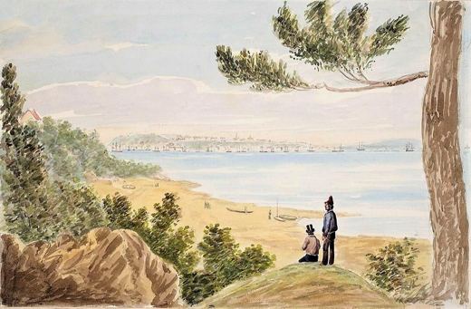 Quebec from Pointe Lévis
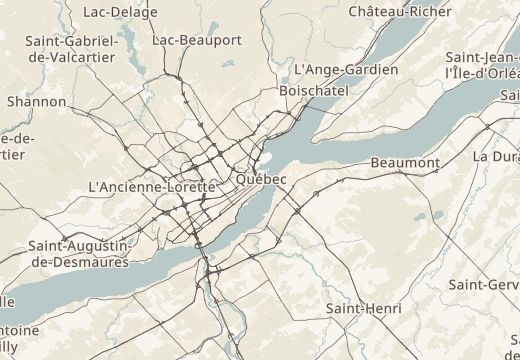
Every sketch is pinned where it was drawn.
Been to Quebec City, Canada? Add your own sketch next to these.
SketchMap Atlas shows sketches of Quebec City, Canada by James Pattison Cockburn.
Cape Diamond, Quebec City, Canada; Hope Gate, Quebec City, Canada; Pointe Lévis, Quebec, Canada.
A hill with houses above the cove and boats by the shore: a watercolour over pencil of 1827. A gate of Quebec City and passers-by in the street: watercolour over pencil.
They were made from 1826 to 1827.
Yes. “Quebec: from Hope Gate to Cape Diamond” is a sketching route of 3 stops through Quebec City, Canada. See it on its route page or open it in SketchMap Atlas.
Yes. Open SketchMap Atlas, pin your drawing at the place and it will appear on the map next to these classics.