
Who was Emeric Essex Vidal?
English naval officer and artist who drew Buenos Aires and Montevideo in the 1810s.
Artists › Emeric Essex Vidal
The River Plate and Buenos Aires · 1791–1861
Emeric Essex Vidal (1791–1861): the river plate and buenos aires. SketchMap Atlas shows 1 sketch by Emeric Essex Vidal on the world map, each placed where it was drawn.
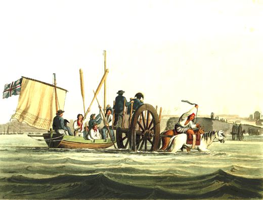
English naval officer and artist who drew Buenos Aires and Montevideo in the 1810s. A set of his watercolours was published as aquatints and became an important picture of the River Plate region before the cities grew.
Every sketch is pinned where it was drawn, so you can follow Emeric Essex Vidal from place to place.
Been to one of these places? Add your own sketch next to Emeric Essex Vidal’s.
English naval officer and artist who drew Buenos Aires and Montevideo in the 1810s.
Argentina. Every sketch is shown on the map at the place where it was made.
“The Landing Place at Buenos Aires” (1820). Each one is pinned to the place where it was drawn.
1 sketch by Emeric Essex Vidal, each shown on the world map at the place where it was drawn.
The works shown here are marked “Public domain” and come from Wikimedia Commons. Check the source link of each work for the exact terms.
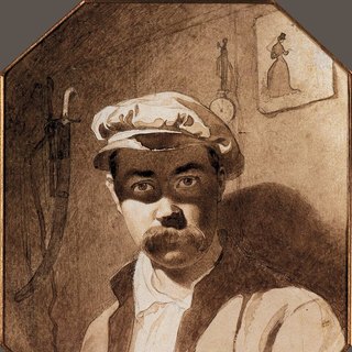 Taras Shevchenko
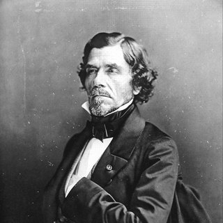 Eugène Delacroix
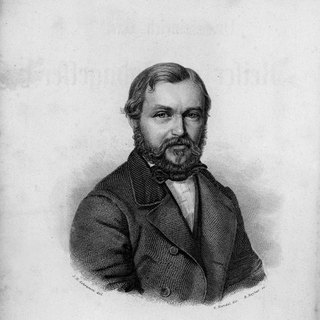 Heinrich Barth
