
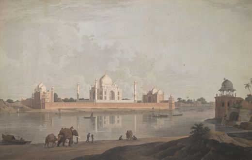
Who was William Daniell?
English landscape painter and printmaker.
Artists › William Daniell
India in aquatint · 1769–1837
William Daniell (1769–1837): india in aquatint. SketchMap Atlas shows 1 sketch by William Daniell on the world map, each placed where it was drawn.
English landscape painter and printmaker. With his uncle Thomas he travelled in India in the late eighteenth century and later published the aquatint series Oriental Scenery, which showed ruins, temples and rivers to British readers.
Every sketch is pinned where it was drawn, so you can follow William Daniell from place to place.
Been to one of these places? Add your own sketch next to William Daniell’s.
English landscape painter and printmaker.
India. Every sketch is shown on the map at the place where it was made.
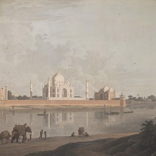
“The Taj Mahal, Agra” (1801). Each one is pinned to the place where it was drawn.
1 sketch by William Daniell, each shown on the world map at the place where it was drawn.
The works shown here are marked “Public domain” and come from Wikimedia Commons. Check the source link of each work for the exact terms.
 Karl Bodmer
 Charles Heaphy
 John Webber
